



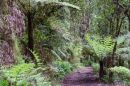


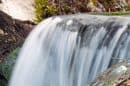

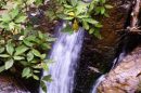
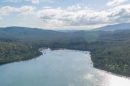


















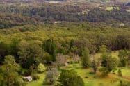

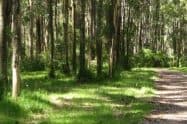
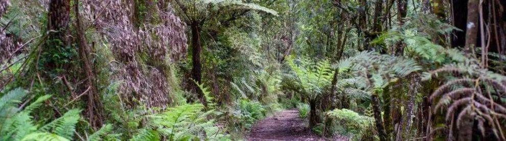
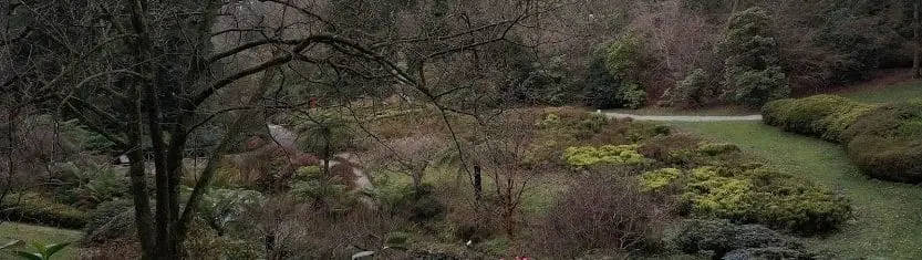
Dandenong Ranges National Park protects tall Mountain Ash forest, fern-filled gullies, waterfalls and steep volcanic hills on Melbourne’s eastern edge. Its walking tracks, picnic grounds and wildlife make it one of the most popular nature destinations within easy reach of the city.
The national park is not contained within one fenced site or served by a single entrance. It extends across several separated areas around Ferntree Gully, Mount Dandenong, Olinda, Kallista, Sherbrooke and Silvan. Visitors should choose a particular walk or picnic ground before travelling.
Entry to the national park and parking at standard Parks Victoria visitor areas are free. For a first outing, combine one walk with a picnic or village meal in the same part of the ranges. A steep climb, a waterfall stroll and a mountain-bike ride require different starting points; trying to cover the whole park in a single afternoon often means spending more time driving than in the forest.
Choose Your Part of the Park
Ferntree Gully and the 1000 Steps
The Ferntree Gully section contains the well-known 1000 Steps, officially called the Kokoda Track Memorial Walk, along with Ferntree Gully Picnic Ground and routes towards One Tree Hill.
Sherbrooke Forest
Sherbrooke Forest is the park’s largest continuous forested section. Walking tracks can be accessed from Grants, O’Donohue and Sherbrooke picnic grounds, with routes leading through Mountain Ash forest and fern gullies towards Sherbrooke Falls.
Olinda and Silvan
The Olinda section includes Olinda Falls, forest tracks and picnic facilities around the upper slopes of the ranges. The Silvan section includes a designated mountain-bike trail network, while other park areas offer lookouts, smaller picnic grounds, and connecting forest tracks. Driving between these areas can take longer than expected because of winding roads, weekend traffic and limited parking at popular locations.
Doongalla
Doongalla occupies part of the western side of Mount Dandenong. Its picnic grounds and walking tracks provide a quieter alternative to the heavily visited 1000 Steps.
Forest Walks and Waterfalls
Choose a walk by its return distance, gradient and starting point. The 1000 Steps suits a sustained fitness climb; Sherbrooke Falls offers a shorter forest outing from the western picnic grounds, with the return route depending on the trailhead; and the Eastern Sherbrooke circuit is a longer, hilly walk of around 6.7km. These routes offer different experiences rather than interchangeable ways to see the whole park.
The 1000 Steps is the park’s best-known walk. It follows a steep route through fern gullies and includes interpretive signs connected with the Kokoda Track campaign. The track is physically demanding and becomes particularly busy on weekends and public holidays.
Sherbrooke Forest offers a wider selection of walks, including routes from Grants Picnic Ground, O’Donohue Picnic Ground and Sherbrooke Picnic Ground. Visitors may combine several tracks to create a longer circuit, but should carry a map because intersections and similarly named routes can be confusing.
The short walks at Grants have different surfaces and gradients. Choose the route after reading current trail conditions, particularly if someone in your group has limited mobility.
Track difficulty depends on more than distance. Steep clay, exposed roots, steps, fallen debris and wet surfaces can make a relatively short walk challenging. Download the map for the chosen section because mobile reception can be inconsistent.
Waterfall Walks
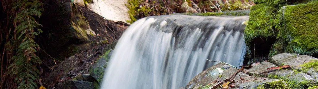
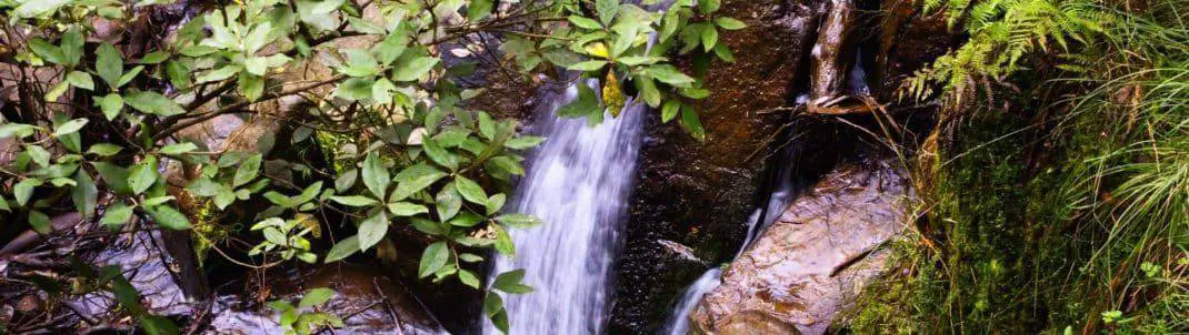
Olinda Falls and Sherbrooke Falls are small forest cascades rather than large waterfalls. Both are generally at their best after sustained rainfall. Olinda Falls is reached from Olinda Falls Picnic Ground, while Sherbrooke Falls can be accessed through the Sherbrooke Forest walking network.
The fern gullies and surrounding forest are an important part of each walk. Water flow may be limited during extended dry periods. Rain improves the waterfalls but can make clay surfaces, exposed roots, timber steps and rocks slippery. Suitable footwear is recommended.
Picnics and Accessible Visits
Picnic grounds throughout the park provide different combinations of parking, tables, toilets, shelters, barbecues and walking access. Ferntree Gully and One Tree Hill offer picnic stops near the park’s best-known climb. Grants, O’Donohue and Sherbrooke picnic grounds serve the southern forest walks, while Doongalla provides a western-side picnic base. Valley, Eagle Nest and Olinda Falls are options around the northern forest network.
Facilities vary by location. Visitors should check the details for their chosen picnic ground before relying on toilets, barbecues or accessible paths.
The cafe at Grants Picnic Ground is temporarily closed while arrangements for a long-term operator are considered. A mobile coffee van currently operates at the site from Tuesday to Saturday. Carry drinking water and take rubbish home. Individual facilities or vehicle gates may close without closing the entire national park.
Accessibility
Accessibility varies considerably between the park’s visitor areas. Steep terrain, unsealed tracks, stairs, drainage damage and uneven surfaces affect many routes. Grants, O’Donohue, Sherbrooke, One Tree Hill and Ferntree Gully picnic grounds have been assessed for accessibility, but conditions and facilities differ between locations.
The Margaret Lester Forest Walk no longer meets an all-abilities standard because of deteriorated surfaces and infrastructure. Assess the conditions against your mobility needs before choosing this route. Visitors with mobility requirements should review the detailed assessment for the intended picnic ground or contact Parks Victoria before travelling.
Mountain Biking in the Silvan Area
The Silvan section of Dandenong Ranges National Park contains a designated mountain-bike trail network beneath the tall forest canopy. The network combines singletrack and management vehicle tracks, with options intended primarily for beginner and intermediate riders. Conditions can become slippery or muddy after rain, and fallen branches may affect trails after storms or strong winds.
Cyclists must remain on roads and tracks where riding is permitted. Do not take bikes onto walking-only tracks or through closed areas. Riders should check current conditions before travelling because trail closures may be introduced for weather, maintenance, fire danger or land-management operations.
Wildlife and Caring for the Forest
Dandenong Ranges National Park supports superb lyrebirds, wallabies, wombats, echidnas, Powerful Owls and numerous other forest birds. Sherbrooke Forest is one of the best places to listen for lyrebirds. Walk quietly and watch the leaf litter for birds scratching for insects. Sightings are never guaranteed, and visitors should avoid approaching or surrounding wildlife.
Feeding wildlife is prohibited. Feeding can make native animals dependent on people, alter their behaviour and expose them to unsuitable food. Dogs and other pets are not permitted in the national park. Qualified assistance dogs are allowed subject to Parks Victoria’s entry requirements for dog-prohibited areas.
Do not touch or approach sick, injured or dead birds or other wildlife. Follow warning signs and report wildlife concerns to the appropriate authority. Remain on designated tracks and keep out of revegetation areas. Plants, flowers, rocks and fallen timber must remain within the national park.
Do not feed wildlife, collect firewood or leave rubbish behind. Camping is not provided within Dandenong Ranges National Park. Observe barbecue and fire restrictions, particularly during the warmer months. Never park across emergency gates, private driveways or narrow mountain roads.
Forest conditions can change quickly after rain, storms or high winds. Turn back if a track appears unsafe or has been officially closed.
Getting There and Vehicle Access
Dandenong Ranges National Park is approximately 35 kilometres east of central Melbourne. The best route depends on the section being visited.
From Melbourne by Car
Burwood Highway provides access towards Upper Ferntree Gully and the 1000 Steps. Canterbury Road and Mount Dandenong Tourist Road serve areas around Montrose, Mount Dandenong, Olinda and Sassafras. Monbulk Road provides access towards Kallista, Grants Picnic Ground and parts of Sherbrooke Forest.
A car is the easiest way to reach most picnic grounds and travel between separated sections of the park. Allow additional time for winding roads and congestion on weekends, public holidays and during major local events.
By Public Transport
Belgrave line trains serve Ferntree Gully, Upper Ferntree Gully and Belgrave. You can reach the 1000 Steps on foot from Upper Ferntree Gully Station, although the approach adds distance to the visit.
Buses connect several towns across the Dandenong Ranges, but services to individual trailheads and picnic grounds can be limited. Check the complete return journey before relying on public transport.
Use designated parking spaces at the relevant picnic ground. Popular locations such as Ferntree Gully and Grants Picnic Ground can fill during busy periods. Do not park on vegetation, block access roads or obstruct emergency gates.
Ferntree Gully vehicle gates normally open from 6am to 9pm daily. Other picnic grounds have their own vehicle-gate schedules, including seasonal hours. Check the named picnic ground before travelling rather than applying one closing time to the whole park. Read the signs at your chosen entrance, allow time to return to the car before closing, and finish forest walks in daylight. Temporary closures take precedence over ordinary access hours.
Fire Danger and Temporary Closures
Whole-Park Fire and Weather Closures
The entire Dandenong Ranges National Park, including the 1000 Steps, closes on days when the Fire Danger Rating is Extreme or above. The park may also close during severe weather or other unsafe conditions.
Local Track Works and Management Operations
Selected areas of the park may close between 4pm and 7am on nominated nights from 16 August to 19 November 2026 for authorised deer-control operations. Closure signs are displayed at affected access points, and visitors must not enter closed areas.
Track damage, fallen trees, storms, planned works and emergency operations can also result in short-notice closures. Check Parks Victoria’s changed-conditions notices on the morning of the visit and obey all gates and signs. Large Mountain Ash trees can shed branches without warning, particularly during strong winds. Avoid visiting forested areas during severe weather.
Current burn-preparation works affect the Olinda VW Track area, including Barges, Bartlett, Tchans and VW tracks. Check the specific route notice before setting out. A closure in one treatment area does not automatically mean that every picnic ground and walk in the national park is closed.
Dandenong Ranges National Park FAQs
Does the park have one main entrance?
The park has separated visitor areas with different access roads. Choose the exact walk, picnic ground or riding precinct before travelling so navigation takes you to a usable start rather than a general park location.
Is entry free?
Standard national-park entry and parking at ordinary Parks Victoria visitor areas are free. Privately operated destinations in the ranges have their own charges, so check them separately when combining a forest visit with another attraction.
Where should I go for a first visit?
Ferntree Gully suits a steep 1000 Steps outing, western Sherbrooke has signed forest routes towards its small falls, and Doongalla offers a western-side picnic base. Choose one area and leave time for its walk and picnic rather than trying to cross the whole park.
Can I bring a dog or stay overnight?
Pets are prohibited, and ordinary visitor camping is not provided in the national park. Recognised assistance dogs have separate arrangements; choose another designated campground and check its rules if planning an overnight trip.
Are there accessible forest walks?
Some developed picnic areas have accessible facilities, but forest routes vary in gradient, steps and surface condition. Margaret Lester currently no longer meets an all-abilities standard, so use the detailed assessment for the intended site and seek current advice.
When does the whole park close?
The entire park closes when the Fire Danger Rating is Extreme or above and may close for severe weather or other unsafe conditions. Check current notices before leaving home; ordinary daily access and vehicle-gate times do not override a closure.
Does a management notice close every walk?
Some operations and track works affect only mapped sections at specified times. Read the affected area, date and route in the current notice, follow on-site signs and never enter a closed section even if another part of the park remains open.
Can I ride a mountain bike on any track?
Use roads and tracks where riding is permitted, including the designated Silvan network. Walking-only trails and closed areas remain off limits; select a grade suitable for your ability and check conditions after rain or maintenance.




Do You Have a Question to Ask?