



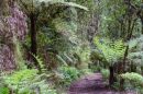






















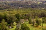
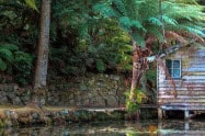
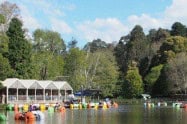

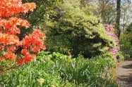
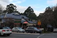


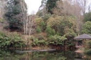
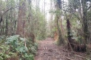

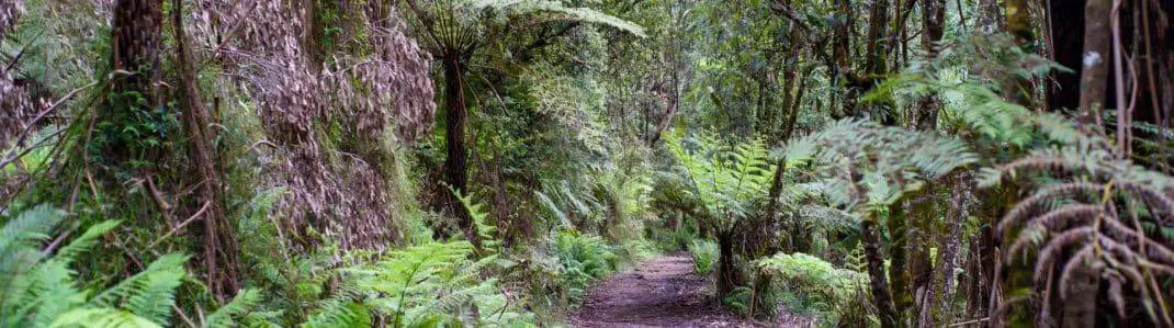
Sherbrooke Forest is the largest section of Dandenong Ranges National Park, known for tall Mountain Ash, shaded fern gullies and walking tracks beneath the canopy. Its main experience is the forest itself: a slower walk gives time to notice bird calls, damp vegetation and the changing light between the trees.
Sherbrooke Falls, the picnic grounds and the tracks around Grants are different starting points within this wider area. Choose one precinct for a short visit, or plan a longer route using the park map rather than assuming every forest attraction is beside the same car park.
Walking to Sherbrooke Falls
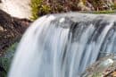
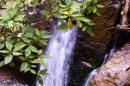
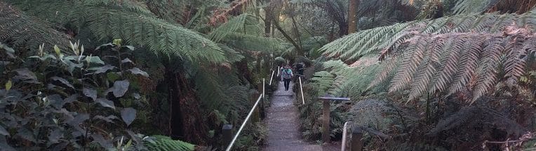
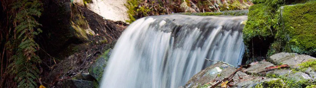
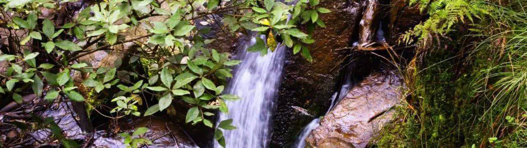
Sherbrooke Falls is a small creek cascade among tree ferns. Visitors expecting a large, open waterfall may be surprised: the fern-filled gully and forest approach are as much a part of the outing as the water itself.
Sherbrooke Track and O’Donohue Track lead towards the falls from their respective picnic grounds. Follow the signed route and check the map at the start. Allow around an hour for a relaxed short return outing, with additional time for photographs, rests and wet-weather conditions.
Flow is generally more noticeable after rain, but that is also when tracks can become muddy or slippery. Wear shoes with grip, stay on formed paths and keep children close near the creek. Extending the walk through other tracks requires a fresh check of distance and the route back.
Grants and Other Forest Walks
Choosing a Route at Grants Picnic Ground
Grants Picnic Ground provides another entry to Sherbrooke Forest, near Kallista. Its tracks range from short nature walks to the substantially longer Eastern Sherbrooke Forest Walk. Keep the western falls precinct and the Grants side of the forest separate in your planning, because a picnic-ground name alone does not identify a route between them. The latter is approximately 7 kilometres and includes more demanding terrain, so it should not be treated as a quick extension to a picnic.
Check route signs and current conditions before deciding how far to walk. The historical Margaret Lester Forest Walk is no longer classified as meeting the expected all-abilities standard because of its surface and infrastructure condition. Visitors using mobility aids should obtain current advice rather than relying on older accessible-walk descriptions.
Lyrebirds and Forest Wildlife
Superb Lyrebirds inhabit the forest, and a quiet visit may reveal their calls or birds foraging on the ground. Listen before moving closer, keep to the track and give animals room to continue their natural behaviour. A sighting is a possibility, rather than a guaranteed part of the walk.
Bird feeding is no longer a visitor activity at Grants. Enjoy watching native birds without offering food or attempting to attract them. Do not touch or approach sick or dead wildlife, and follow any current health notices.
Picnic Grounds and Refreshments
Sherbrooke and O’Donohue picnic grounds provide parking, picnic areas and toilets near the falls walks. Facilities and access arrangements vary between sites, so use the information for the particular picnic ground you plan to visit.
Grants Picnic Ground’s cafe is temporarily closed. A mobile coffee van is advertised Tuesday to Saturday during the leasing process, but bring your own food and water if refreshments are essential to the outing. Nearby Kallista and other villages provide separate dining options.
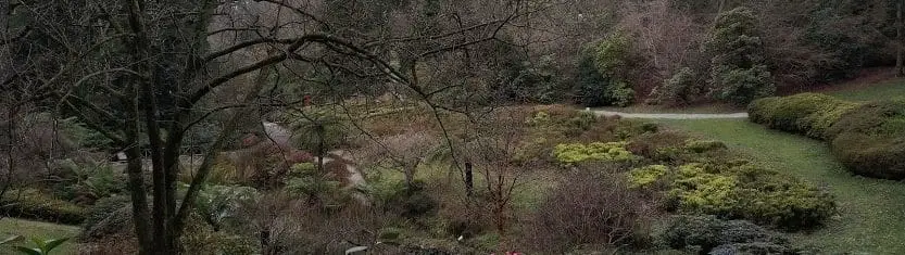
Alfred Nicholas Memorial Gardens is close to the Sherbrooke Road precinct and can make a useful second stop. Its cultivated hillside garden is a separate experience from the national-park forest, with different dog rules and its own entrance.
Road Access, Dogs and Accessibility
For Sherbrooke Picnic Ground, turn from Mount Dandenong Tourist Road onto Sherbrooke Road and continue about 2 kilometres to the picnic-ground precinct. O’Donohue Picnic Ground is slightly further along, off Sherbrooke Lodge Road. Grants is reached from the Kallista side of the forest; select the intended starting point before navigating.
Dogs are prohibited in Dandenong Ranges National Park. Assistance-dog requirements are separate. Although picnic precincts have some accessible facilities, the forest walks can include slopes, roots and uneven natural surfaces. Check the relevant accessibility information before selecting a route.
Weather and Temporary Closures
Plan walks during daylight and check park conditions after storms or heavy rain. The national park closes during Extreme Fire Danger and severe weather. Falling branches, slippery tracks and changing visibility can affect the outing even when a track is open.
Park-management operations also close selected areas at times. The 2026 night deer-control programme runs on selected nights between 16 August and 19 November, with affected areas closed from 4pm to 7am. Read the current closure map and signs, especially before a late-afternoon walk.
Sherbrooke Forest FAQs
What makes Sherbrooke Forest worth visiting?
Tall Mountain Ash, shaded fern gullies and bird calls make the forest walk the main experience. Sherbrooke Falls is a small cascade within that landscape, so allow time to enjoy the approach rather than expecting a large open waterfall.
Where does the falls walk begin?
Use Sherbrooke Picnic Ground on Sherbrooke Road or O'Donohue Picnic Ground off Sherbrooke Lodge Road. Follow the signed track and choose the correct return branch so you finish at your own parking area.
Can I still feed birds at Grants?
Bird feeding is no longer a visitor activity. Observe birds quietly from the track without offering food or trying to attract them, and follow any current wildlife-health notices.
Are dogs allowed?
Pets are prohibited within this national-park forest. The nearby Alfred Nicholas gardens have different rules, so do not assume an on-lead garden visit gives permission to continue into Sherbrooke Forest.
Can I get a meal at Grants?
The cafe is temporarily closed during the leasing process. A mobile coffee van is advertised Tuesday to Saturday, but bring supplies if food is essential and treat village cafes as separate stops.
Is the Margaret Lester Forest Walk fully accessible?
Parks Victoria advises that it no longer meets the expected all-abilities standard because of surface and infrastructure condition. Obtain current advice for your mobility needs rather than relying on older accessible-walk descriptions.
When can forest access be restricted?
Extreme fire danger, severe weather and management operations can close affected areas. The 2026 night-control programme runs on selected nights through 19 November; read the current map and signs before a late-afternoon walk.



Hi, is there any public transport that I can take to visit this place from Melbourne CBD? Thanks!
Yes there is.
Take the train to Upper fern tree gully statio and then take the 688 bus to Croydon. Get off at Sherbrooke road at Ferny Creek.