



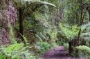


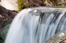

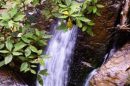



















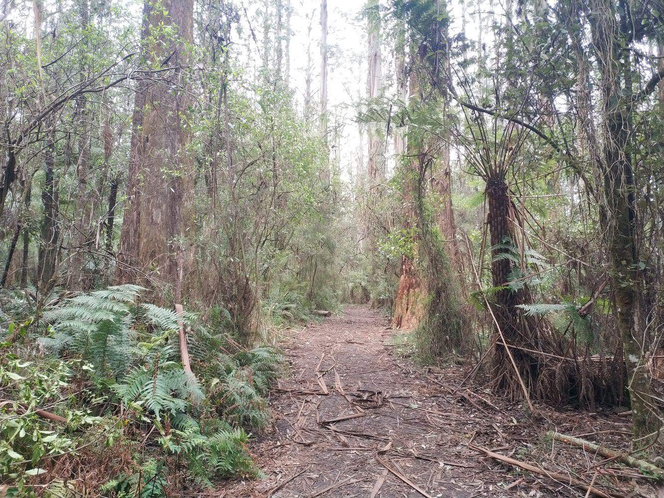
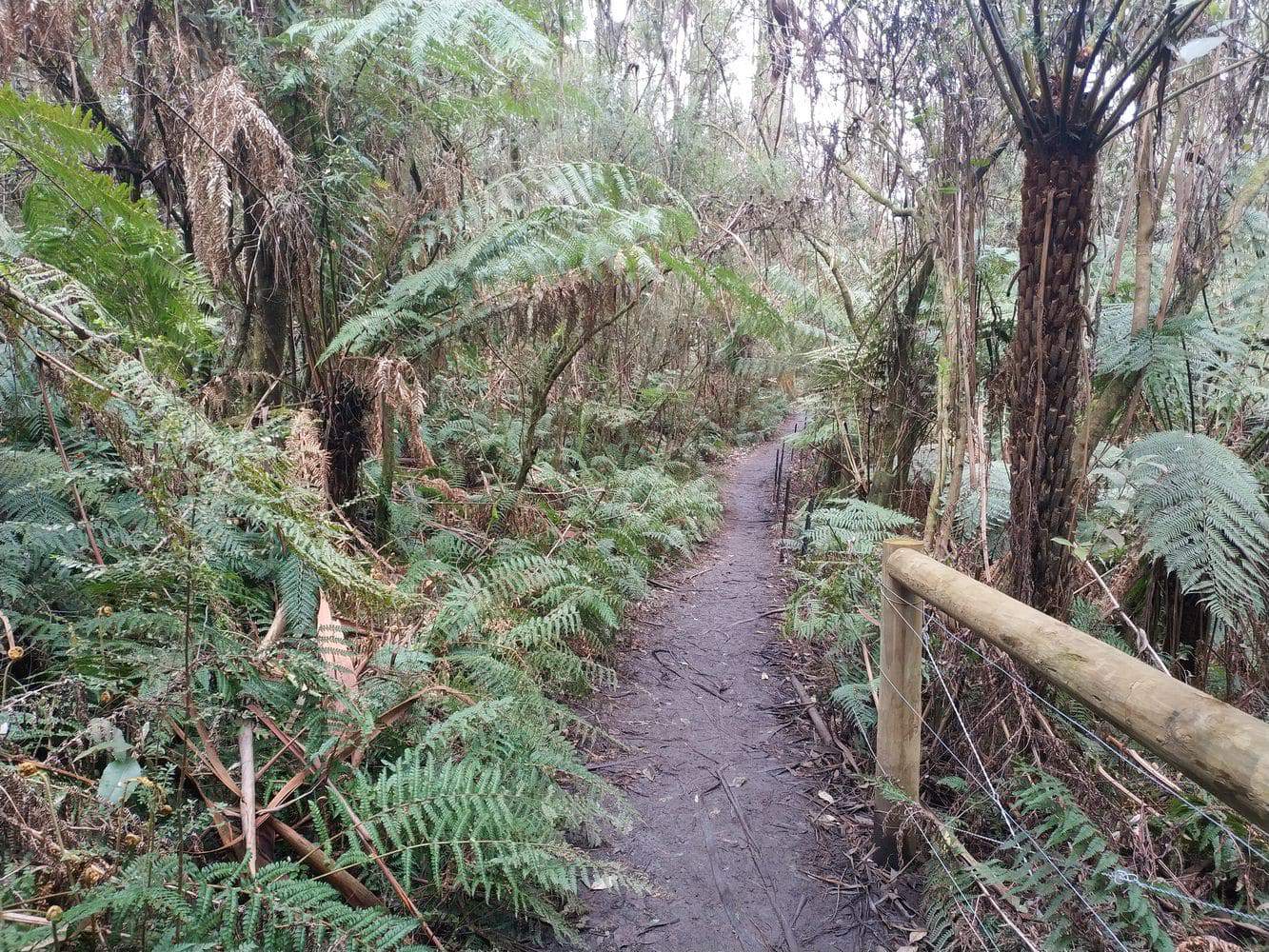
Sherbrooke Falls is a small cascade deep in Sherbrooke Forest, reached on walking tracks through mountain ash and fern gullies. The forest is the main attraction: tall trunks, dense understorey and the sound of the creek make this a rewarding walk even when the falls carry little water.
Two picnic grounds provide convenient starting points. Choose the entrance before travelling, then leave time for the return walk and a picnic or village stop afterwards.
Starting at Sherbrooke or O’Donohue
Sherbrooke Picnic Ground is on Sherbrooke Road. From there, the signed Sherbrooke Track provides an approach to the falls. The standard return outing is about 2.4km, with roughly an hour’s walking before allowing for longer stops.
O’Donohue Picnic Ground is on Sherbrooke Lodge Road and provides access using O’Donohue Track. It is a separate starting area, so check the trailhead map for your particular route and return distance.
Several tracks intersect within the forest. Carry a map and check signs at junctions; an unfamiliar connection can turn a short waterfall outing into a much longer walk. Return to the same picnic ground if your car is parked there.
Both approaches involve natural surfaces. Although this is a manageable shorter walk for many families, wet ground, roots, changes in level and track damage can affect the effort required.
Mountain Ash, Fern Gullies and the Cascade
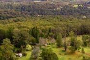
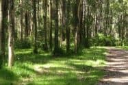
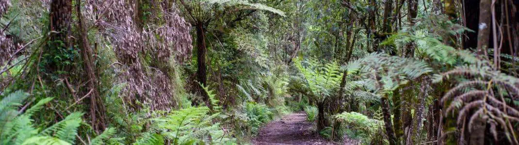
The walk passes through some of the Dandenong Ranges’ characteristic tall forest. Look upwards at the mountain ash canopy, then towards the tree ferns and smaller plants beside the path. The changing scale is part of what makes the setting memorable.
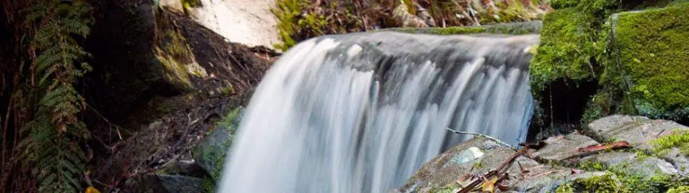
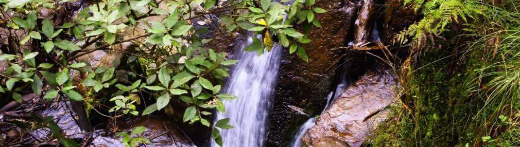
The falls themselves can be partly obscured by vegetation. They are a modest creek cascade, so arrive expecting a forest experience rather than an expansive waterfall panorama.
Sustained rainfall usually improves the water flow and brings out the scent of the forest. It also makes surfaces more slippery. Take care near the creek and view the falls from designated areas instead of climbing onto wet rocks.
Lyrebirds and other wildlife inhabit Sherbrooke Forest. Walk quietly and listen, but do not expect a sighting on every visit. Keep animals undisturbed and never offer food.
Picnic Facilities and Mobility Considerations
The starting picnic grounds provide tables, parking and toilets. Bring food and drinking water if combining the walk with a longer stay, and take your rubbish home.
Accessible picnic facilities do not establish that the falls walking route is wheelchair accessible. Sherbrooke Picnic Ground has an accessible toilet, while paths and surfaces vary around the visitor areas and forest tracks.
Visitors using a mobility aid or pram should assess the specific approach rather than relying on its short length. Uneven sections and slippery surfaces can be difficult even where the surrounding picnic ground is manageable.
Allow extra time with children and keep the group together at junctions. A picnic-ground stop can be enjoyed separately if part of the group prefers not to attempt the waterfall walk.
Getting There and Planning the Return
Driving gives the most flexibility, especially when combining the walk with other hills destinations. Use the correct road for your chosen picnic ground, park in designated spaces and leave access gates clear.
A public-transport approach is possible by train to Belgrave, followed by route 694 towards Mount Dandenong. The Sherbrooke Lodge Road/Sherbrooke Road stop is near Sherbrooke Picnic Ground. Check the current timetable and complete return connection before departure.
Entry is free. Plan a daylight walk with enough time to return comfortably. Check current park conditions on the day, particularly after storms or when fire danger is high.
The national park closes on Extreme and Catastrophic fire-danger days. Selected-area management operations and track repairs can also change access; follow notices for the route you intend to use.
Dogs and other pets are not permitted, with separate arrangements for recognised assistance dogs. Stay on authorised paths and respect any signed closure rather than attempting a bypass through the forest.
Sherbrooke Falls FAQs
How long is the Sherbrooke Falls walk?
The standard return outing from Sherbrooke Picnic Ground is about 2.4km, taking roughly an hour before longer stops.
Can I start at O’Donohue Picnic Ground?
Yes. Use the signed O’Donohue Track approach and check its trailhead map for the route back to that picnic ground.
Which roads serve the two starts?
Sherbrooke Picnic Ground is on Sherbrooke Road; O’Donohue is on Sherbrooke Lodge Road.
When does the waterfall flow most strongly?
Usually after sustained rain. Wet conditions also make tracks and creekside surfaces more slippery.
Is the falls route wheelchair accessible?
The forest route has slopes and uneven surfaces. Assess these separately from accessible facilities at the picnic ground and ask Parks Victoria about suitable options.
Can I bring a dog?
Pets are not permitted in the national park. Recognised assistance dogs have separate entry arrangements.
Can I get there by public transport?
Train to Belgrave and route 694 provide an approach near Sherbrooke Picnic Ground. Check the current timetable and return services.









Hi, I am visiting the area this Thursday and Friday. What is the best place to take two children, 8 and 12, to see waterfalls and easy walking tracks. Thanks
Hi Sarah,
I am not sure if you are limited to just the Sherbrooke Falls (as this was the page you left the question on), but having walked a number of these to take photos, i could recommend the following tracks:
– Sherbrooke Falls: 2.4km and rated as easy to moderate. See https://www.dandenongrangespoint.com.au/attractions/sherbrooke-falls/)
– Olinda Falls: 340m walk from the carpark. See https://www.dandenongrangespoint.com.au/attractions/olinda-falls/
– National Rhododendron Gardens (AKA Dandenong Ranges Botanic Garden): See https://www.dandenongrangespoint.com.au/attractions/national-rhododendron-gardens/
– Alfred Nicholas Memorial Gardens. See https://www.dandenongrangespoint.com.au/attractions/alfred-nicholas-memorial-gardens/
– Lastly and if you are feeling energetic – the 1000 Steps. See https://www.dandenongrangespoint.com.au/attractions/1000-steps/
There is quite a number of nature activities in the area, so i’d recommend checking out the different attractions at https://www.dandenongrangespoint.com.au/attractions/nature/. Even if you don’t end up walking, a lot of these are quite picturesque and a great place to relax.
Thanks
Michael
I can not see any good waterfalls here. But walk track is awesome.
Hi. Are there walks up on the Dandenong where
Leashed dogs are allowed ?
Thanks and cheers.
Hi Sharon,
Last check, dogs were permitted on these walking tracks. Please check signage when you arrive to ensure that these are still correct:
Mathias Track: Easy
Rock Track Circuit Walk: 3 km’s | 1 Hour Easy
Rock Track- Mathias Track Circuit Walk: 6 km’s Easy | Moderate
Glenfern Valley Bushlands: 6km’s Easy | Moderate
Birdsland Reserve: Easy Walk
The Tan Track: Sherbrooke. 2.7 km | 40 mins | Easy Walk
Dandenong Ranges Tourist Track – Sassafras to Emerald – 15km, one-way/5 hours | Moderate Walk
Silvan to Mt Evelyn: Olinda Creek Walking Track – 9.2kms return | Easy / Moderate
Cardinia Reservoir Park – 3 km’s | 1 Hour along Messmate Track | Easy / Moderate Walks
Best regards,
Jess
Hi i am after some information on the cockatoos at grants on sherbrooke.
Thank you
Hi Andrea,
Head to Sherbrooke Forest where there is a cafe called ‘Grants on Sherbrooke’ (open 9am-5pm). To feed the birds, you must purchase a token from there which then gives you seed to feed the native birds in a specified bird feeding area. You will likely find Rosellas, Cockatoos and Parrots.
There are also a number of walking tracks from the picnic ground where you can explore more of the native flora and fauna.
Have a great time!
Regards,
Jess
Was wondering the best way by car to access the waterfalls.
Hi Dionne,
You can park your car at O’Donohue Picnic Grounds or Sherbrooke Picnic Grounds, both accessible via Sherbrooke Road (refer to map above).
However, please note that that falls themselves can only be accessed by foot. The walk is a 2.4 km return walk with an easy grade.
Regards,
Jess
Can we walk our dogs here? Don’t want to take her then find out she can’t walk with us.
Hi Melinda,
As Sherbrooke is within the Dandenong Ranges National Park, dogs and other pets are not permitted.
Regards,
Jess
Hi Jess,
Once again thanks for the information!
The order of scheduling is
1) 1000 steps, this Sat
2) Olinda falls mid March
3) Sherbrooke end of March!
Mind you for us pensioners, this great venture can cost next to nothing
due to free weekend public transport in Vic.
I am trying to encourage some friends to get off couches and TV serials and follow me
in my Victorian escapades!
Thanks again
Cheers and good luck!
Elliott
Hi, I’m curious about the free public transport on weekends? How does that work? Thanks.
Hi Curious Hiker,
If you are referring to the previous comment, free public transport for is offered in Victoria for Seniors on weekends (with valid travel card).
Check out the PTV link here which gives you some detail about who is entitled to travel (and when) for free on Victorian public transport.
Regards,
Jess
Hi, I’m wondering what the best way (if any) to access the falls via public transport would be?
Hi Elliott,
Yes, you can get to the Dandenong Ranges from the Melbourne CBD using public transport. If you are coming from the city, catch a train from Flinders Street Station or Southern Cross Station. Take the “Belgrave Line” and get off at the last stop, Belgrave (it takes approx 1 hour).
Check https://www.ptv.vic.gov.au/ for scheduled times. However, please note that the falls are a 3.3km walk each way from Belgrave.
Regards,
Jess