






















Devil’s Elbows is a demanding road-cycling climb from Upper Ferntree Gully into the Dandenong Ranges. The route combines Mount Dandenong Tourist Road, Churchill Drive and One Tree Hill Road, with two tight turns and forest scenery along the way.
Its appeal is the sustained climbing challenge and changing surroundings. This is a road ride shared with motor vehicles, so riders need traffic awareness as well as the fitness to handle the steeper gradients.
Following the Climb to One Tree Hill Road
The Tourist Road and Churchill Turn
The commonly described climb is about 5.5km, gaining approximately 377 metres at an average gradient of 6.9%. Start at the Burwood Highway and Mount Dandenong Tourist Road junction near the 1000 Steps precinct.
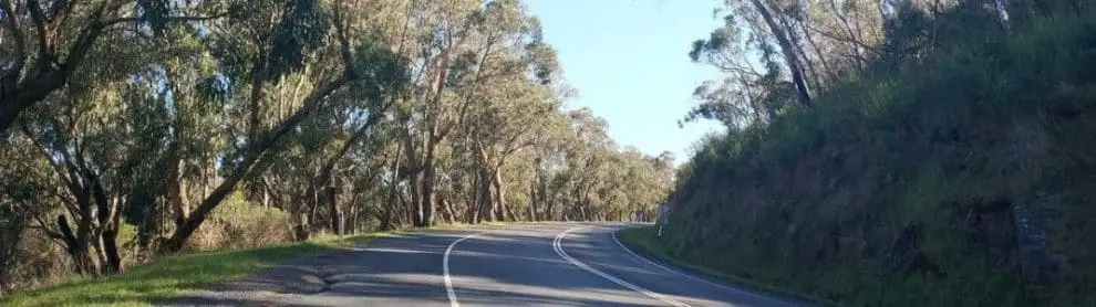
The first left-hand hairpin is around 1.4km into the climb. Continue to Churchill Drive at approximately 2.6km and turn left. At about 4.1km, turn sharply right onto One Tree Hill Road for the final section.
The One Tree Hill Road Finish
The usual climb finishes at the high point on One Tree Hill Road near Ferny Creek. It does not finish simply at the second hairpin. Load your intended route before starting because different timing segments and onward rides can use different endpoints.
Gradient, Effort and Forest Scenery
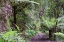
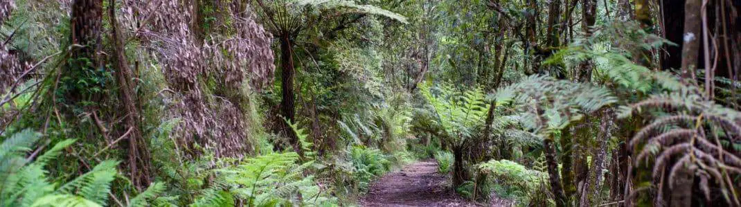
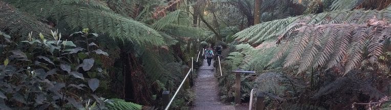
The road climbs from the beginning, with some pitches around 10%. The section after turning onto Churchill Drive brings a more enclosed forest setting, with a sustained gradient around 7-8% in the route description. The final part includes easier stretches between rises, giving a different rhythm from the steep middle of the climb.
Keep enough in reserve for the sustained middle of the climb. Select a manageable gear before the steeper pitches and avoid stopping suddenly where a bend limits the view of approaching traffic.
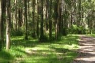
The forest is part of the experience, but it should not distract from the road. Pause only at a safe place fully clear of the carriageway, then take time to enjoy the trees and fern-lined surroundings.
This route is considerably more demanding than a flat 5.5km ride. Plan it according to your climbing ability and the elevation of the complete outing, including whatever route you choose after reaching the crest.
Road Conditions and a Controlled Return
Expect vehicles on all three roads. Churchill Drive is narrower than the main tourist road, and bends restrict sightlines. Keep your riding predictable, watch for roadside debris and leave space to respond to other road users.
Use daylight and avoid poor visibility. Wet leaves, rain and fog can affect grip and braking. Check current road advice before leaving and follow temporary restrictions rather than relying on a saved route.
Descending the climb reverses its tight turns and junctions. Choose a speed that allows you to stop within the visible road, and check carefully before joining Mount Dandenong Tourist Road from Churchill Drive.
Do not treat the return as recovery that requires no concentration. Fatigue after the climb can affect judgement, so take a break in a suitable place before a longer descent if needed.
Starting from Upper Ferntree Gully
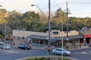
Upper Ferntree Gully provides rail access and places to organise supplies before the ride. Check bicycle arrangements for the service you plan to use, and include the road approach from the station in your route.
Bring water, food and basic puncture-repair equipment. Choose lawful parking if driving to the area, and do not assume the nearby national-park car park will have space or remain accessible for your whole outing.
Any stop in Dandenong Ranges National Park has its own visitor rules and closure notices. Road riding, access to park facilities and riding on forest tracks are separate activities; the road-climb route does not grant permission to use walking-only trails.
Devil's Elbows FAQs
Where does Devil's Elbows begin?
The commonly described climb starts at Burwood Highway and Mount Dandenong Tourist Road in Upper Ferntree Gully. Include any approach from the station or your parking space, because that travel is additional to the measured hill segment.
Which turns do I follow?
Ride Mount Dandenong Tourist Road, turn left onto Churchill Drive at roughly 2.6 kilometres, then right onto One Tree Hill Road around 4.1 kilometres. The climb continues to the high point rather than finishing at that second turn; load the intended route before setting off.
How much climbing is involved?
The usual segment is about 5.5 kilometres, gaining roughly 377 metres at an average gradient of 6.9%, with harder pitches around 10%. Plan for sustained effort and the elevation of the full return ride rather than judging it by the short distance alone.
Is it a separate bike trail?
No. All three roads carry vehicles, and Churchill Drive is narrower with restricted sightlines through bends. Road riding does not provide permission to use adjoining walking-only forest tracks or enter a closed park area.
How should I pace a first attempt?
Use a manageable gear and preserve effort for the sustained forest section after Churchill Drive. A flatter ride of the same distance does not prepare you for this climbing; choose a complete route that leaves enough energy and daylight for the return.
What needs care on the descent?
Tight corners, junctions, traffic and wet leaves demand controlled speed and reliable brakes. Pause at a safe place if tired, and check carefully when rejoining the tourist road rather than treating the downhill as an effortless finish.
Can I use a train to reach the start?
Upper Ferntree Gully provides rail access, with a road approach to the climb. Check bicycle arrangements and the return service for your intended journey, and carry water and repair supplies before entering the hills.



Do You Have a Question to Ask?