

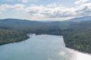
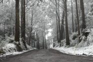


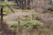


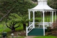
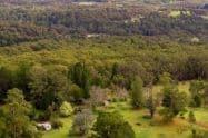
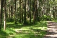
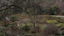
From 1898 to 1990, this area was used primarily for logging. Later it became Bunyip State Park; the picturesque spot we can visit and enjoy today.
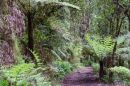
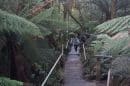
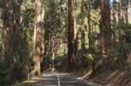
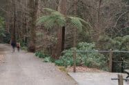
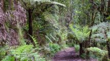
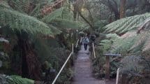
The Bunyip State Park offers a variety of trails for walking or hiking which range from easy to moderate in difficulty.
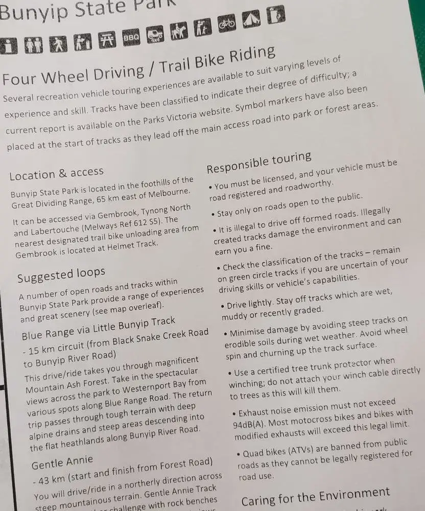
Bunyip State Park Camping Spots, 4WD Walking & Hike Trail Map, VIC
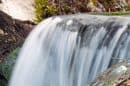
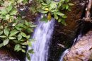
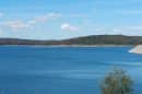
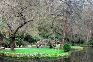
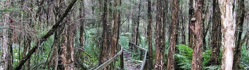
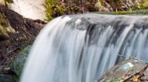
The main road, Black Snake Creek Road, runs through the Park’s centre and Parks Victoria has detailed maps available of the area which outline walks, driving routes, bike rides and horse riding trails – all of which are welcome in the park. For dedicated hikers, the park is a part of the Bunyip Weir trail, a six-kilometre track.
Visitors are welcome to camp at the park, with camping sites located in the Nash Creek Camping area and the Dyers Picnic Ground. Tent pads and non-flushing toilets are provided and caravans are welcome; however, driving directly on to the campsite is not permitted.
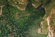
In 2009, the Black Saturday bush fires destroyed approximately 45% of the Park, proving the importance of taking fire safety precautions in the natural area.


Do You Have a Question to Ask?