



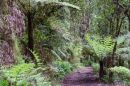



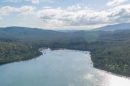



















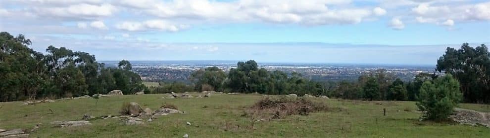
Trig Point Lookout is a walking destination on the Lysterfield Hills, with wide views towards Melbourne and the surrounding suburbs. At about 223 metres above sea level, it offers a different perspective from the forested peaks higher in the Dandenong Ranges.
The lookout is reached on foot, or by bicycle on permitted approaches. It is not a drive-up viewing platform. Choose a route that suits your fitness and check access conditions before travelling.
Choosing Your Route to the Lookout
From Churchill Picnic Ground
The signed Trig Point Lookout Trail runs approximately 3.4km one way from Churchill Picnic Ground. Returning by the same route makes an outing of about 6.8km, with extra distance if you explore other tracks. Allow time for the climb, rests and the view rather than treating it as a quick roadside stop.
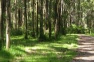
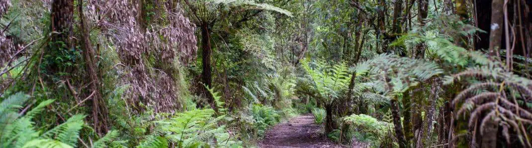
The approach passes the Stonemasons area and an old aqueduct. Although the trail is rated Grade 2, there are steep and uneven sections. Walking shoes with grip and a comfortable pace will make the climb more manageable.
The Granite Peak Approach
Granite Peak Trail provides a more demanding approach through Lysterfield Park. It is rated Grade 4, with sustained climbing and rough sections, and is restricted to hikers and trail runners. Mountain bikes are not permitted on this trail.
The full distance depends on where you start in Lysterfield’s track network. Check the mapped trailhead and return route before setting out; the Churchill route distance should not be applied to a walk beginning near the lake.
The View and the Hillside Setting
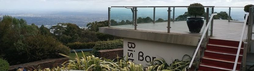
The open summit gives broad views across the urban landscape, making the contrast between bushland and city part of the attraction. Visibility changes with haze and weather, so choose a clear day if the distant skyline is your main interest.
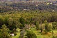
Take time to look around before descending. Wildlife may be encountered along the hillside, including kangaroos, but sightings are not guaranteed. Give animals space and remain on the track rather than approaching them for photographs.
The exposed lookout can feel warmer, windier or cooler than the sheltered approach. Carry water, sun protection and an extra layer, and leave enough daylight for a careful return.
Current Access and Facilities
Churchill Picnic Ground is reached from Churchill Park Drive. Its published visitor hours are 10am to 4pm year-round. Check the current vehicle-access notice and entrance sign before travelling, and leave enough time to complete the walk and return before the gate closes.
Alternative walking approaches can add distance. Work out the complete route from your actual parking area before leaving the car, rather than applying the picnic-ground distance to a different start. Use lawful spaces and keep access roads and gates clear.
The former Churchill toilet block has been removed. Do not rely on toilets at this trailhead. Facilities elsewhere in Lysterfield, including the Hallam North Road area, require a separate stop.
Walking and Riding Responsibly
Entry is free, and dogs are not permitted in Churchill National Park or Lysterfield Park. Recognised assistance dogs have separate entry arrangements. Riders should use only routes where cycling is permitted, slow near walkers and check junction signs. Permission to cycle elsewhere in the park does not override Granite Peak Trail’s walking restriction.
Selected northern Lysterfield areas are subject to temporary overnight deer-control closures. Follow the current location and time notices for your route. Weather damage or other temporary restrictions may also change access, so a daylight outing still needs a conditions check.
Trig Point Lookout FAQs
How far is the walk from Churchill Picnic Ground?
The signed route is 3.4 kilometres one way, making about 6.8 kilometres if returning along the same track. Allow for the climb, rests and summit time, and add any approach distance from a different parking area.
Can I drive to the lookout?
The summit is reached on foot or by bicycle along a permitted approach, rather than by driving to a viewing platform. Check the route from your chosen trailhead and prepare for climbing before setting out.
How does Granite Peak Trail differ?
Granite Peak is a harder Grade 4 approach through Lysterfield, with steep and uneven sections along the old quarry tramline. Its complete outing distance depends on the trailhead and return route; do not apply the Churchill distance to a lake-side start.
Can I cycle on Granite Peak Trail?
No. Granite Peak is restricted to hikers, walkers and trail runners. Cycling is possible on other permitted approaches, but junction signs and closures control where you may ride; slow down and give walkers room on shared sections.
Are there toilets at the Churchill start?
The Churchill toilet block was removed in late 2025 and is unavailable. Make a separate facilities stop at Hallam North Road in Lysterfield or Rowville before starting, rather than expecting toilets beside the picnic ground.
What are the Churchill visitor hours?
The picnic area opens 10am to 4pm year-round. Check current vehicle access and the entrance sign before travelling, leave a margin before gate closing and complete the outing in daylight.
Can I bring a dog?
Dogs are prohibited in both Churchill National Park and Lysterfield Park. Recognised assistance dogs have separate arrangements; contact Parks Victoria if those requirements affect your visit.
What can restrict the walk?
Weather damage, track works and management operations can affect a route. Selected northern Lysterfield areas close from 4pm to 8am on nominated nights between 17 August and 27 November 2026, so check the current map and signs before a late outing.



Do You Have a Question to Ask?