























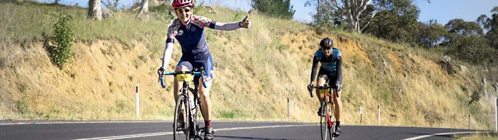
The Wall is a road-cycling climb from Monbulk towards Olinda on Olinda-Monbulk Road. Two steeper sections interrupt a more varied gradient, giving the climb its name and making pacing more important than the average slope might suggest.
This is a public road used by motor vehicles, rather than a separate cycle trail. It suits riders comfortable with hill climbing, traffic and the demands of descending winding roads.
Route, Distance and the Two Steep Sections
Start and Finish
The commonly described climb is about 5.2km, gaining approximately 294 metres at an average gradient of 5.7%. Begin at the junction of Monbulk Road and Olinda-Monbulk Road and ride uphill towards Olinda; the usual measured finish is near the Olinda swimming pool sign.
Where the Gradient Changes
A hairpin appears roughly 1km into the climb. The first major steep section begins around 2km, followed by another sustained rise around 3.5km. The first steeper pitch lasts roughly 500 metres, while the second is about a kilometre long, making it a longer effort even though its gradient is slightly gentler. The harder pitches reach approximately 8-10%, so the average does not describe every part of the ride.
Different GPS segments can use slightly different start and finish points. Choose the same endpoints when comparing times and remember that the journey to and from the climb adds distance and elevation.
Pacing the Climb
Warm up before the start and use a sustainable effort on the opening slope. Going too hard before the steeper sections can leave little reserve for the second half.
Choose a low enough gear to keep pedalling comfortably when the road pitches up. Easier stretches provide a chance to settle your breathing and drink when it is safe, rather than an invitation to sprint every flatter section.
Riders new to hill climbing should build confidence on gentler terrain first. Being able to ride a similar distance on a flat path does not mean the same effort will suit The Wall, particularly when it is part of a longer Dandenongs loop.
Traffic, Weather and the Descent
Expect passing vehicles, bends and roadside access throughout the ride. Keep a predictable line and leave room to react to debris or poor surfaces. If you need to stop, move fully clear of traffic rather than pausing on a blind corner.
Choose daylight and reasonable visibility. Rain, fog and wet leaves can change braking and grip, while hot weather increases the demands of climbing. Check current road notices before setting off.
Descending the same road requires attention to speed and cornering. Finish braking before a bend where possible, leave a margin for unexpected vehicles and avoid chasing a time on the return. Do not attempt the descent if conditions exceed your confidence.
Food Stops and a Longer Ride
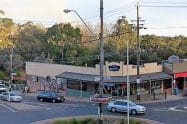
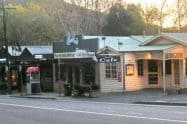
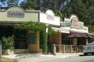
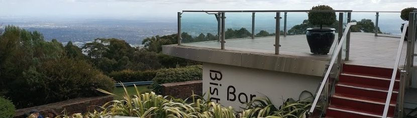
Monbulk and Olinda provide places to organise food and drinks before or after the effort. Carry water and basic repair equipment rather than depending on an open shop halfway through.
The Wall is often linked with other climbs, but each connection adds work. Plan the complete route and allow for tired legs on the way home. A single climb with a comfortable return can be a more useful first outing.
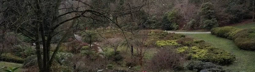
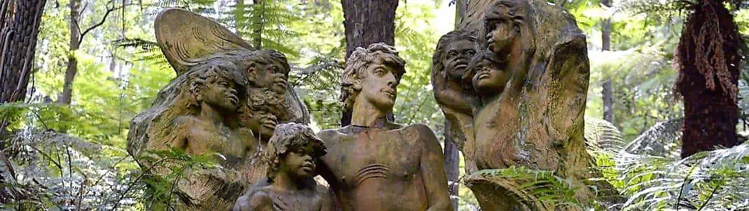
Cloudehill Gardens lies along the upper road, with its own entry and opening arrangements. RJ Hamer Arboretum requires a separate approach off the climb; it is not a roadside stop directly on The Wall.
The Wall FAQs
Where does The Wall climb start and finish?
Start at the Monbulk Road and Olinda-Monbulk Road junction and ride towards Olinda. The commonly measured finish is near the swimming-pool sign; use consistent endpoints if comparing times, and include your approach and return in the full ride plan.
How long and steep is the climb?
The described segment is about 5.2 kilometres, gaining roughly 294 metres at an average 5.7%. Two steeper sections reach around 8-10%, so the average is a guide to the whole climb rather than a description of every stretch.
Where are the hardest sections?
The first major pitch begins around two kilometres into the climb and lasts roughly 500 metres. The second starts around 3.5 kilometres and lasts about a kilometre, so save enough effort for a longer sustained rise after the initial steep section.
Is it a traffic-free bicycle route?
No. It follows a public road used by motor vehicles, with bends and roadside access. Ride predictably, stop only where fully clear of traffic and check road conditions before travelling, especially after severe weather.
Is it suitable for a first hill ride?
The steeper pitches and traffic suit riders already comfortable with road cycling and sustained climbing. Choose manageable gearing and pace, and build confidence on gentler terrain before combining it with a larger Dandenongs loop.
How should I plan the return?
A descent needs controlled speed and attention to corners, traffic and changing grip. Carry water and repair equipment, leave energy for the full journey and choose a shorter outing if fatigue or weather would make the return difficult.



Do You Have a Question to Ask?