

































The Olinda Creek Walking Track links Silvan with Mount Evelyn through the Olinda Creek valley. It is a point-to-point forest walk, with changing vegetation and some rising ground, rather than a short circuit around Silvan Reservoir’s picnic lawns.
Plan the whole journey before setting off. A walk back to the same car doubles the distance shown for your chosen point-to-point route. Check the exact trailheads and return plan on the current map. A pickup at the other end makes a different outing from an out-and-back hike.
The Route Between Silvan and Mount Evelyn
Start from the Silvan Reservoir Park area or Mount Evelyn Recreation Reserve, reached via Tramway Road. Use the route map and signed junctions to establish the exact start and finish: the surrounding network also includes aqueduct and other forest tracks.
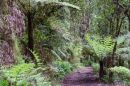
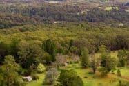
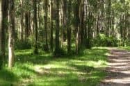
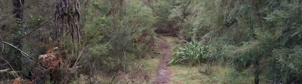
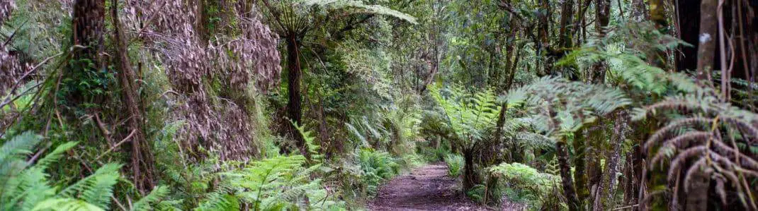
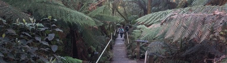
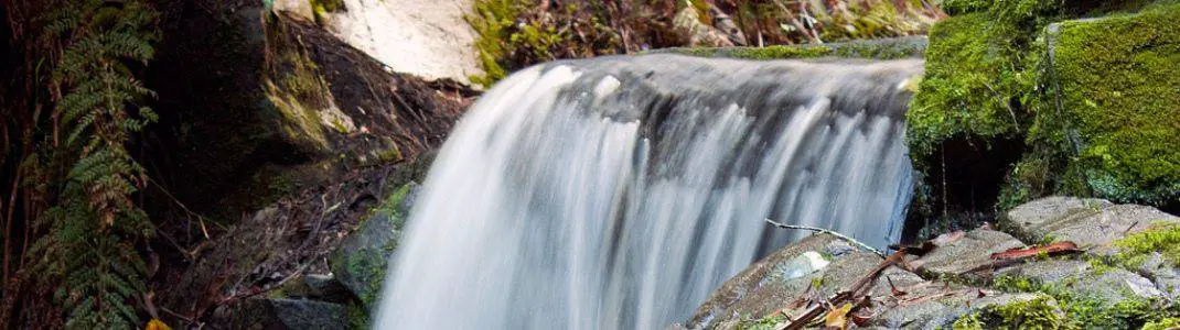
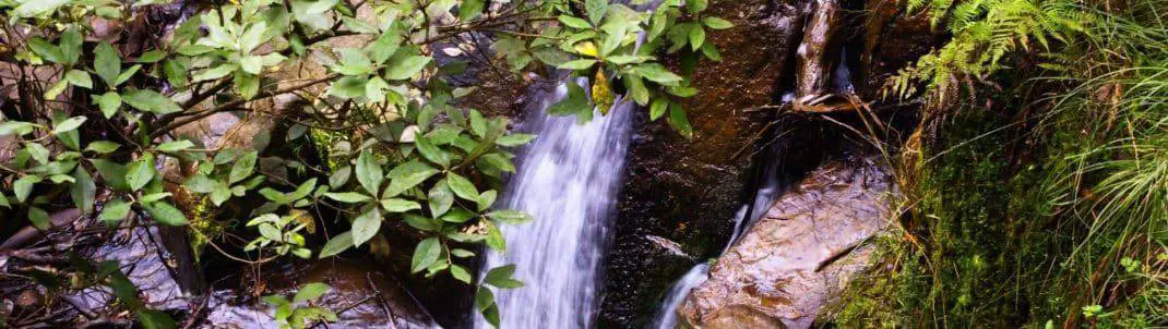
The trail passes through the creek valley, moving between drier forest and fern-filled areas. The variety is the main attraction, with the atmosphere changing as the track moves away from the developed recreation areas.
Carry an offline map and check each junction rather than assuming every path follows the creek walk. Take a photograph of the trailhead map as a backup, and agree on the meeting point beforehand if somebody will collect you.
Distance, Time and Walking Conditions
Allow roughly two hours for a complete one-way outing at an unhurried pace, checking the current map for the distance from your chosen entrance. An out-and-back trip needs about four hours of walking, plus breaks, with the final timing depending on the route. Children, muddy conditions and time spent watching birds can extend those estimates.
The route is generally moderate, with undulating ground and some steeper sections. Gravel and natural surfaces become less predictable after rain. Wear walking shoes with grip; this is not a sealed, level path suitable for every pram or mobility aid.
For a shorter outing, choose a turnaround time and retrace your route. This is easier to manage than committing to the full link without arranging transport. Do not confuse Olinda Creek Walking Track with Olinda Falls or the differently named Olinda Valley Walk.
Trailhead Facilities and Return Transport
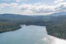
Silvan Reservoir Park has picnic areas and toilets, making it useful for a meal before or after the walk. Its lower entrance off Stonyford Road serves the picnic area, playground and toilet block; the upper entrance provides the reservoir observation area. Carry enough drinking water and snacks for the trail itself. Do not expect toilets or a staffed refreshment stop along the whole route.
If parking inside Silvan Reservoir Park, its current vehicle opening hours are 9am to 4pm. Work backwards from the closing time when planning a return hike. Public transport or a pickup needs its own timetable; simply reaching Mount Evelyn does not return you to the Silvan car park.
Dogs, Closures and Forest Etiquette
Dogs are allowed on a lead in Silvan Reservoir Park’s recreation precinct, but that permission does not extend to the adjoining national park trails. Leave pets at home for the full Olinda Creek forest walk.
Check Parks Victoria’s current track conditions before departure and follow local closure signs. Forest works and weather damage may affect particular sections without closing every nearby track. Stay on the formed route and watch wildlife without feeding it.
Olinda Creek Walking Track FAQs
Is this a one-way walk or a circuit?
The creek route is a point-to-point walk between Silvan and Mount Evelyn. Returning on foot doubles the distance for your chosen trailheads; check the map, choose a shorter turnaround or arrange collection if that is too far.
How long should I allow?
Allow about two hours one way at an unhurried pace, or around four hours plus breaks for an out-and-back trip. Mud, slopes, children and stops to watch birds can extend those planning estimates.
Where can I start the walk?
Use the Silvan Reservoir Park end or Mount Evelyn Recreation Reserve via Tramway Road. Check the trailhead information to distinguish the creek route from neighbouring aqueduct, loop and forest tracks.
Is this the walk to Olinda Falls?
Olinda Falls is a separate destination with a different approach. This route connects the Silvan and Mount Evelyn areas, so selecting an Olinda Falls pin will not take you to the intended trailhead.
Can I take a dog along the whole route?
Pets are prohibited on national-park sections, even though on-lead dogs are allowed in Silvan Reservoir Park's recreation precinct. Leave pets at home for the complete forest link and follow signs at park boundaries.
How do I return to my car?
Retrace the walk, arrange a pickup at the other end or plan a separately mapped circuit. Do not assume a short loop exists; if your car is inside Silvan Reservoir Park, work around its 4pm vehicle closing time.



Do You Have a Question to Ask?